Questions & answers
How do online maps help plan a road trip across the US?
Online maps significantly streamline US road trip planning by offering comprehensive route optimization, real-time traffic updates, and detailed waypoint management. Users can plot multi-stop itineraries, estimate fuel costs, identify points of interest like rest stops, gas stations, and scenic overlooks, and even download offline maps for areas with limited connectivity. This integrated approach ensures efficient, informed, and enjoyable cross-country travel experiences.
Which online map application is best for public transit in major US cities?
For navigating public transit in major US cities, Google Maps and Apple Maps are consistently top contenders. They integrate real-time schedules, route options for buses, subways, and trains, and provide step-by-step directions with estimated travel times. Many users find their interfaces intuitive for comparing transit modes, identifying delays, and managing complex urban journeys efficiently.
Can I download offline maps for travel in areas of the United States with limited service?
Yes, most popular online map applications like Google Maps and HERE WeGo offer the crucial ability to download offline maps. This feature is invaluable for travel in rural areas, national parks, or regions with unreliable cellular service across the United States. Users can pre-download specific geographic areas, ensuring continued access to navigation and points of interest without an internet connection.
How do online maps provide real-time traffic data to help avoid congestion in the US?
Online maps gather real-time traffic data from a vast network of sources, including GPS data from active users, government sensors, and incident reports. This aggregated information is then processed to display current road conditions, highlight congested areas, and dynamically suggest alternative routes. This continuous data flow empowers US drivers to make informed decisions and avoid delays effectively.
What are the benefits of using online maps for local business discovery and support?
Online maps offer significant benefits for local business discovery and support, allowing users to easily locate stores, restaurants, and services nearby. They provide essential information such as operating hours, contact details, customer reviews, and photos. This accessibility not only helps consumers find what they need but also drives local commerce by increasing visibility for businesses within specific geographical areas across the US.
Do online maps show walking directions for trails within US national parks or remote areas?
While online maps provide walking directions for urban areas, their coverage for specific trails within US national parks or remote areas can vary. Major parks often have detailed trail data. However, for backcountry or less-traveled routes, specialized hiking apps or traditional paper maps might offer more comprehensive and reliable navigation, complementing the basic mapping features.
How can I find gas stations or EV charging stations quickly using online map visualization?
Locating gas stations or EV charging stations is simple with online map visualization. Users can type “gas station” or “EV charging” directly into the map’s search bar. The map will then display nearby options, often with additional details like fuel prices, charger types, and availability. This functionality ensures travelers can efficiently plan their stops and manage their vehicle's energy needs.
Unlock unparalleled navigation with online map visualization tools, expertly designed for United States travelers seeking efficient routes and insightful local discovery. These platforms empower users to effortlessly plan journeys, from cross-country road trips to urban explorations, providing real-time traffic updates, comprehensive public transit information, and detailed walking directions. Discover how advanced online maps enhance travel planning, reveal hidden local gems, and connect you with essential services like gas stations and EV charging. Learn to leverage features such as offline map downloads and street view to ensure seamless travel across diverse U.S. landscapes. This guide illuminates the optimal online map solutions for your specific travel needs, ensuring a smoother, more informed, and truly optimized American adventure.
Frequently asked questions
What is the most reliable online map for driving in the US?
Google Maps consistently offers reliable driving directions across the U.S., featuring real-time traffic updates, route optimization, and extensive coverage of roads and points of interest. Its robust POI database and user reviews also aid in discovering destinations, making it a top choice for American drivers.
Can I share my location using online map applications?
Yes, most online map applications, including Google Maps and Apple Maps, allow users to share their real-time location with contacts. This feature is particularly useful for meeting up with friends, letting family track your journey for safety, or coordinating group activities across the United States.
How do online maps assist with public transportation in US cities?
Online maps integrate public transportation schedules, routes, and real-time arrival predictions for buses, trains, and subways in many U.S. cities. They help plan multi-modal journeys, estimate travel times, and navigate complex transit networks efficiently, reducing stress for urban travelers.
Are there privacy concerns when using online map services?
While online map services offer immense convenience, privacy concerns can arise from location tracking and data collection. Users can often adjust privacy settings to limit data sharing or opt for incognito modes to reduce their personal data footprint while navigating, offering greater control over their information.
What features make an online map useful for travelers in the USA?
Key features for U.S. travelers include offline map downloads, real-time traffic, public transit options, detailed walking directions, restaurant/hotel reviews, street view, and integration with ride-sharing services. These tools collectively enhance trip planning and on-the-go navigation across diverse American destinations.
How can I find gas stations or EV charging stations on an online map?
Most online map platforms feature dedicated search functions for gas stations and EV charging points. Simply type 'gas station' or 'EV charging' into the search bar, and the map will display nearby options, often including fuel prices or charger types. This ensures convenient energy stops for all vehicles.
Modern online map visualization tools have fundamentally reshaped how Americans explore their surroundings and plan journeys across vast landscapes. These sophisticated platforms move far beyond simple point-to-point directions, offering a rich tapestry of data that empowers users to discover local attractions, navigate complex urban environments, and optimize travel routes with unprecedented efficiency. Whether you are charting a cross-country road trip, seeking the quickest public transit option in a bustling city, or simply searching for the highest-rated coffee shop nearby, digital maps serve as indispensable companions for everyday navigation and grand adventures alike. Embracing the full suite of features available in these applications can transform your travel experience, making every journey smoother and more insightful.
Navigating the diverse terrain of the United States, from its towering national parks to its sprawling metropolitan areas, demands tools that are both powerful and intuitive. Online map visualization platforms rise to this challenge by integrating real-time traffic updates, detailed street views, and comprehensive databases of points of interest. These dynamic features not only guide you along the most efficient paths but also reveal a wealth of contextual information about your destination, from business operating hours to user-generated reviews. Understanding how to leverage these capabilities effectively unlocks a new dimension of geographical exploration, allowing you to move confidently and make informed decisions on the go, no matter your destination or mode of transport.
For U.S. travelers, the strategic use of online maps translates directly into saved time, reduced stress, and enriched experiences. These powerful digital resources provide actionable intelligence, helping you avoid congestion, locate essential amenities, and uncover local favorites often missed by conventional guidebooks. From finding the perfect scenic overlook along a highway to pinpointing a specific store in a sprawling shopping complex, map visualization empowers an unparalleled level of logistical control. This guide equips you with the knowledge to harness these tools for optimal U.S. travel, turning every trip into an expertly navigated adventure.
How Online Maps Transform US Travel Planning
Online map visualization fundamentally changes how Americans approach travel planning, offering a dynamic and interactive alternative to static paper maps. Instead of meticulously unfolding large sheets, users now digitally overlay routes with real-time conditions, points of interest, and community insights. This transformation allows for unparalleled flexibility, enabling travelers to adjust plans instantly based on live traffic, weather patterns, or unexpected detours. The ability to visualize an entire journey, from major highways to local backroads, alongside amenities like rest stops, gas stations, and dining options, makes pre-trip preparation both comprehensive and significantly more efficient, ensuring every detail is considered before departure.
Beyond basic routing, modern online maps excel at showcasing the rich tapestry of locations across the U.S. They integrate user-generated content, such as photos, reviews, and ratings, offering a genuine glimpse into destinations before arrival. This community-driven data helps travelers make informed decisions about everything from choosing accommodations to selecting local attractions that align with their interests. Imagine planning a trip to a national park; online maps can highlight specific hiking trails, campgrounds, visitor centers, and even optimal viewing spots, all enriched with insights from fellow explorers. This depth of information cultivates a sense of familiarity and excitement, transforming abstract plans into vivid, actionable itineraries.
The transactional capabilities embedded within online map visualization tools further streamline travel logistics. Users can not only find businesses but also access crucial information like operating hours, contact details, and even book reservations directly through integrated features. This seamless transition from discovery to action is invaluable for U.S. travelers, whether they are securing a last-minute hotel room, finding a highly-rated restaurant, or booking a tour. By consolidating information and providing direct pathways to necessary services, online maps act as a comprehensive travel concierge, reducing the need to switch between multiple applications and ensuring a cohesive planning experience from start to finish.
Discovering Hidden Gems with Advanced Map Features
Online map visualization platforms offer sophisticated features that extend far beyond basic navigation, empowering travelers to unearth unique hidden gems across the United States. Tools like satellite imagery, 3D views, and street-level panoramas allow for virtual exploration of areas before physical arrival, revealing charming side streets, local art installations, or quaint neighborhood parks that might otherwise go unnoticed. By digitally traversing a location, users can gain an intuitive understanding of its character, identify intriguing points of interest, and plan detours that promise genuine local experiences away from typical tourist paths, making every discovery feel personal and rewarding.
Leveraging community contributions within online maps is another powerful way to find those elusive local favorites. Many platforms incorporate user reviews, photos, and ratings for businesses and attractions, providing authentic insights into what makes a place special. Travelers can filter searches based on specific criteria, such as
Key highlights
USA travel routes, find nearby places, local business discovery, real-time traffic updates, public transit maps, travel planning tools, explore local attractions
Gallery

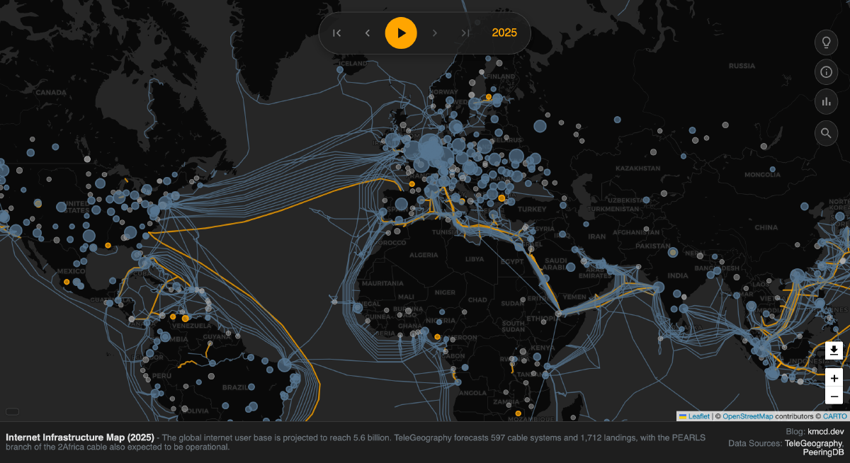

User Times Online Com Potts Launches Updated 2026 Press Release Distribution 0531521 229093 0531521 229093 Google Maps AI Update 2026 Ask Immersive 3D Navigation 2026 Visualizing The Internet 2026 Clustering No Hu 4806A84941C001DE 2026 Futuristic Data Visualization With World Map And Charts Animation 1000 F 1830791992 GPXCQYPN9ZIDX5ISGGRFRWK2RLUY8IZF 1000 1830791992 GPXCQYPN9ZIDX5ISGGRFRWK2RLUY8IZF 2026 Illustration A Stylized Video Overlaid 1000 1755037871 9508ZDNMBWHZDTAKDVYQF9HDXHX2HRYV 1000 1755037871 9508ZDNMBWHZDTAKDVYQF9HDXHX2HRYV Digital 2026 Neon Overlay Stock Glowing Globe Showing Networked Illuminated City Lights Points 428049833 Understanding Projections Atlas Best Free Mapping Tools In 2026 Footage 100 2026 1000 1845350227 BZ00LGMMDIUOCTQ7EZJVOMEVFQ0Z3D3J 1000 1845350227 BZ00LGMMDIUOCTQ7EZJVOMEVFQ0Z3D3J Year 2026 Of 1000 1754974276 H5JXMNIDJLMXHIUHES1JNVNB4PUHUQJQ 1000 1754974276 H5JXMNIDJLMXHIUHES1JNVNB4PUHUQJQ 2026 100 Geospatial Renzonunezaf Elecciones 2026 Deepwiki Og Image.


2026 Elections The Results In Maps And Charts Yahoo News UK 3e1bc9ffed365e1a5841fd1470f56f19 Year 2026 World Map A 3D Of 2026 On 1000 F 1754974386 6w8zqpze6b7h289yucq8loj6m4lrptt0 1000 1754974386 6w8zqpze6b7h289yucq8loj6m4lrptt0 2026 Built With AI Blink 2026 GA74XH0S Sites New 1772187669152 2026 GA74XH0S 1772187669152 Updated Google 2026 What Changed Why It Matters Gmbmantra 1776841755399 2026 Changes Thumbnail 68A6B7EE 1776841755399 2026 68A6B7EE My Best Geospatial Data Visualization Tools 2026 Free 2026 Stock Photos Images Pikwizard Global Showcasing Regions Number 260NW 2704749991 260NW 2704749991 Roadmap To Becoming Successful Specialist 2026 Typography Textured Continents Oceans Ideal 1000 1162218985 NNSP9QY5VQDVDJLXGSYM4EOIVF4UVFJE 1000 1162218985 NNSP9QY5VQDVDJLXGSYM4EOIVF4UVFJE Tableau Visualizations Xeomatrix Analytics Consultant Mapping Out Online 2026 Akousa Og 2026 6cf33110d0e33d03e2c6b91a540b6843 For Business 2026 Expert NPYKSCRWMKECOWCOTIGH0NTCCG.


Of The Best Maps Visualizations Analysis From 2023 6581C84342E5EF74E703113E MAPS2C 2023 6581C84342E5EF74E703113E MAPS2C 2023 2026 Futuristic Data Visualization World Map Stock Footage Video 100 Free AI Tools In 2026 No Coding Excel 8ckqfumsbsic9trvujfqgk9gm8 Visualizing Global Projections And Year 2026 With A Stylized Earth 1000 F 1755432601 MREQED7TKUGZUFXHHQX3XHLKK9IWIWHF 1000 1755432601 MREQED7TKUGZUFXHHQX3XHLKK9IWIWHF 2026 Elections Results Charts Yahoo News UK 21B95B2E45F2F82E28BA8F348B89984A Magnifying Glass Digital 2026 V1 Illustration Adobe 1000 1760041277 8UXWN0YXQOTGEWKSOCCAFQEAC2RHAYWO 1000 1760041277 8UXWN0YXQOTGEWKSOCCAFQEAC2RHAYWO Chart 2026 KNR5YIEABOM8OGIMT6HCB5YFLW Top For 2026 Maptive Heat 2026 Defacto Borders Photos Royalty Wooden Blocks Showing Placed Detailed Middle East Surrounding Regions Concept 417881181 Interactive By Joanna Ellis On Dribbble Original 5368c9787e8eb141e36ac0acc6b7dc64.